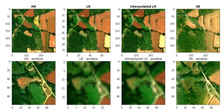
M.Sc. Thesis: Deep Super-Resolution of Sentinel-2 Time Series
The M.Sc. thesis was resarched, written and defended at the University of South Brittany in Vannes, France between Februrary and June 2022.

Currently employed as a Ph.D. student at the Image Processing Laboratory of the University of Valencia, Spain. Working on multi-image super-resolution with diffusion models for remote sensing data, embedded in the ESA OpenSR project.
The OpenSR project is aimed at creating state-of-the-art super-resolution methodologies, datasets and validation benchmarks. Visit the project website to learn more.
The Erasmus Mundus Copernicus Master in Digital Earth (Geodata Science Track) will provide many projects and challenges. These projects are condensed into an Academic Diary, where the progress and results will be shared. Additionally, the journal will be part of the grading process.

The M.Sc. thesis was resarched, written and defended at the University of South Brittany in Vannes, France between Februrary and June 2022.

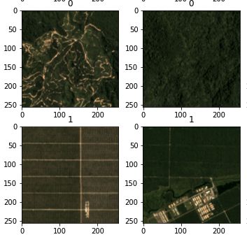
Several predefined deep learning computer vision models, such as LeNet, ResNet18, VGG16 and AlexNet are used to identify palm oil plantations in satellite images. The models are both trained from scratch and used as a feature extractor via transfer learning on the pretrained models.

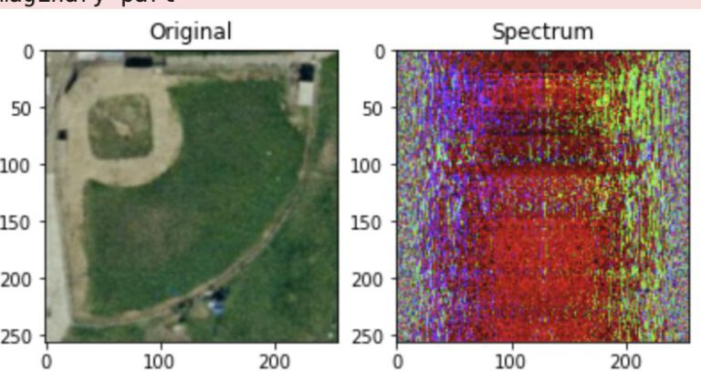
Performing some Fourier Transformations and filtering operations on images.