Sentinel EO Browser & Scripting
This article explains how a custom visualization script was loaded into the SentinelHub EO Browser and how the script does it’s job.
Distance Analysis – Story Map
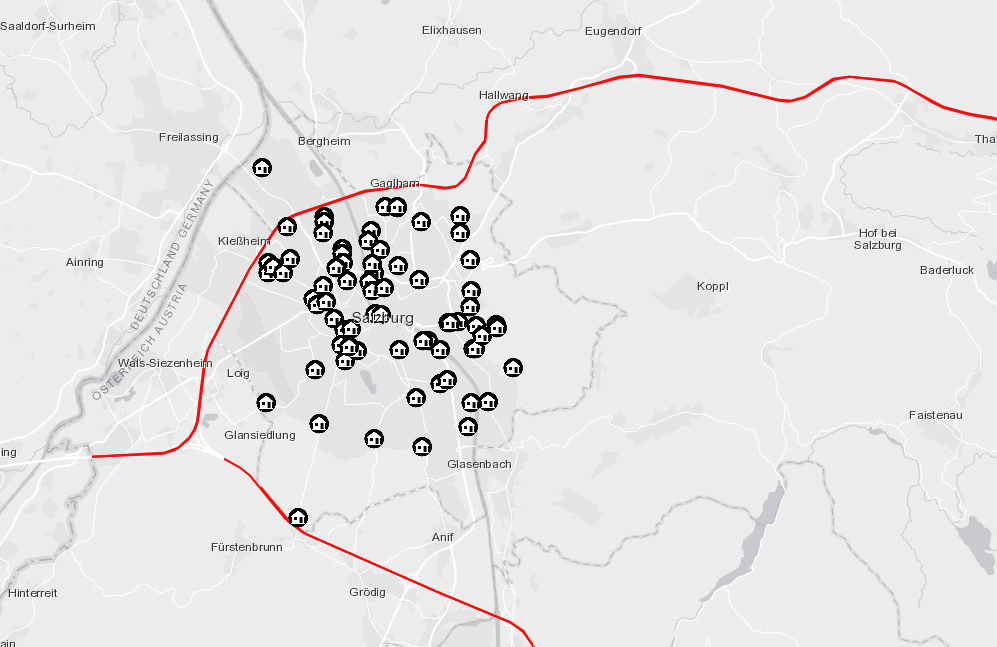
This ESRI ArcOnline Story Map shows the result of the “Distance Analysis” assignment of the Methods in Spatial Analysis class.
Analysis Ready Data and Level-2 Data
This assignment dives into the different preprocessing levels of satellite imagery and the upcoming trend of Analysis Ready Data within the EO community.
Circle Area and Fibonacci Calculation in Java
In this exercise, the area of circles are calculated (with user input and error handling), as well as the Fibonacci sequence calculated.
SQL – Views and Subqueries
In this assignment, basic queries of SQL queries in PostgreSQL are applied.
Sentinel-1 Radar – Wildfire Detection
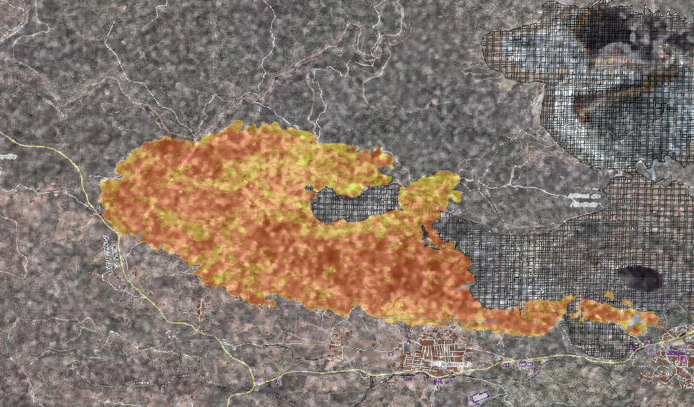
In this exercise for the Advanced Remote Sensing class, a tutorial on how to extract a burnt area from Sentinel-1 imagery was performed.
CDE Introduction Presentation
At the start of the CDE Master, short introductory Presentations were created and published. This ins the introduction presentation, created in Reveal.JS.
Bachelor Thesis
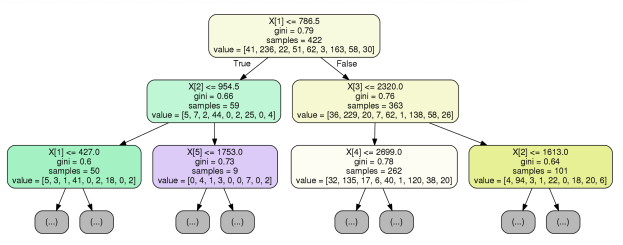
Bachelor Thesis at the University of Cologne – “Using Machine Learning to Derive Soil Information from Soil Reflectance Composites (SCMaP)”